Maps ko log static samajhte hain. Borders fixed, rivers drawn, mountains shaded. Reality ye hai ki geography ek living system hai. Agar kisi ek critical landform ko nikaal diya jaye, to sirf landscape nahi badalta, poora regional balance collapse ho jata hai. Aravalli Hills ke bina North India ka map bhi aisa hi hota, bilkul alag.
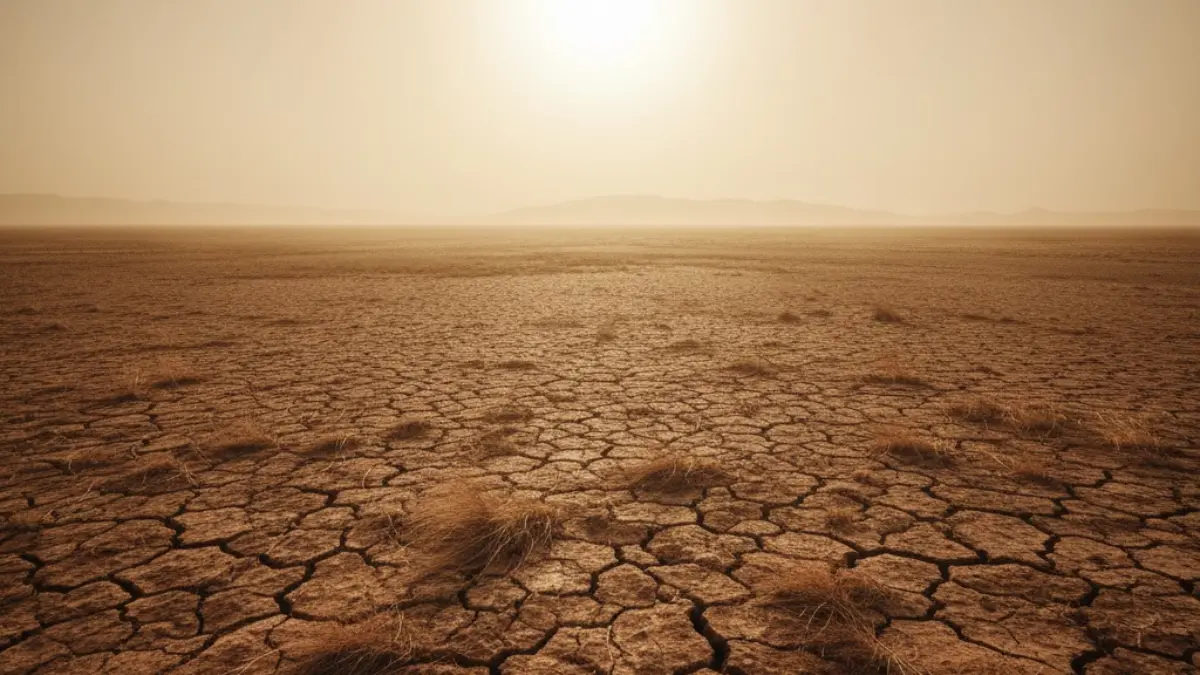
Sabse pehla change desert boundary me dikhta. Aaj Thar Desert western Rajasthan tak mostly confined hai. Aravalli Hills is spread ko slow karti hain. Agar ye range exist hi nahi karti, to desert conditions Haryana aur Western UP tak pehle hi pahunch chuki hoti. Map par jo green aur yellow transition zone dikhta hai, wo direct brown belt me convert ho jata.
Doosra major change temperature gradient me hota. Aravalli ek thermal buffer ka kaam karti hain. Ye extreme heat ko absorb aur deflect karti hain. Bina Aravalli ke, North India ka heat map zyada uniform aur zyada intense hota. Matlab ye ki Delhi, Jaipur aur Hisar ke temperature me zyada difference nahi hota. Poora region ek continuous heat zone ban jata.
Rainfall distribution bhi completely distort ho jata. Aravalli Hills moisture ko hold aur guide karti hain. Agar ye landform nahi hoti, to monsoon winds North India me aur zyada erratic hoti. Kuch pockets me extreme rainfall aur baaki jagah prolonged drought. Map par rivers to dikhti, lekin unka flow seasonal aur unpredictable hota.
Groundwater map sabse zyada alarming hota. Aravalli recharge zones ka kaam karti hain. Bina in pahadiyon ke, aquifers ko refill karne ka natural mechanism weak hota. Haryana, Rajasthan aur NCR ka groundwater depth aur niche hota. Map par zyada areas red ya critical category me hote, green zones almost gayab.
Dust corridors aur air quality ka map bhi badal jata. Aravalli Western Rajasthan se aane wali dry winds aur dust ko partially block karti hain. Agar ye range nahi hoti, to dust movement seedha plains me hota. Delhi NCR ek permanent dust corridor ke beech me hota. Air quality seasonal nahi, chronic problem ban jati.
Biodiversity map bhi shrink hota. Aravalli forests North India ke liye ek ecological bridge ka kaam karti hain. Bina is bridge ke, wildlife corridors toot jate. Species isolated pockets me band ho jati. Map par green patches zyada fragmented aur disconnected hote. Ye fragmentation ecosystem collapse ka clear sign hota.
Human settlement pattern bhi alag hota. Areas jo aaj semi-arid hain, wo arid ban jate. Agriculture zones shift hote. Crop patterns change hote. Map par jo fertile belts dikhte hain, wo narrower hote. Migration pressure zyada hota, kyunki land productivity kam hoti.
Rivers aur drainage ka map bhi unstable hota. Aravalli Hills natural drainage channels ko support karti hain. Bina unke, surface runoff zyada hota. Flood-prone zones aur dry zones ka contrast aur sharp hota. Map par water stress indicators aur zyada scattered aur severe hote.
Climate resilience ke angle se dekha jaye to North India ka map fragile hota. Extreme weather events ke against koi natural buffer nahi hota. Heatwaves, drought aur dust storms ka frequency zyada hota. Map par risk zones dominate karte, safe zones kam ho jate.
Is poore projection ka matlab ye nahi ki Aravalli ke bina North India exist nahi karta. Matlab ye hai ki North India sustainable nahi hota. Ek aisa region jahan zyada resources lagte, zyada damage hota aur recovery ke chances kam hote. Ye sirf environment ka issue nahi hota, ye economic aur social stability ka issue hota.
Isliye jab log poochte hain Aravalli Hills ka importance kya hai, to jawab map me chhupa hota hai. Jo cheez aaj stable dikh rahi hai, wo isliye stable hai kyunki Aravalli quietly apna kaam kar rahi hain. Agar ye kaam band hota, to map bhi badal jata, sirf rang nahi, poori reality.